Geospatial & CAD Mapping Portfolio
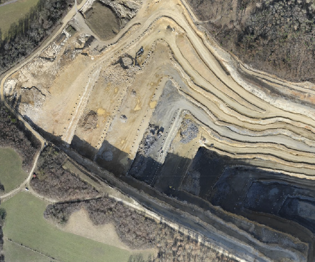
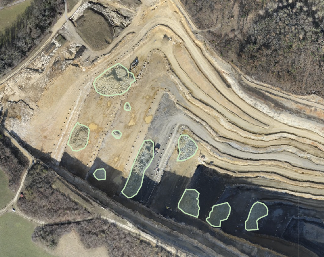
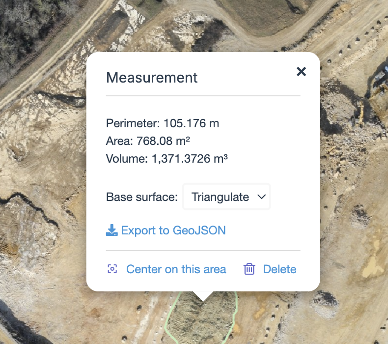
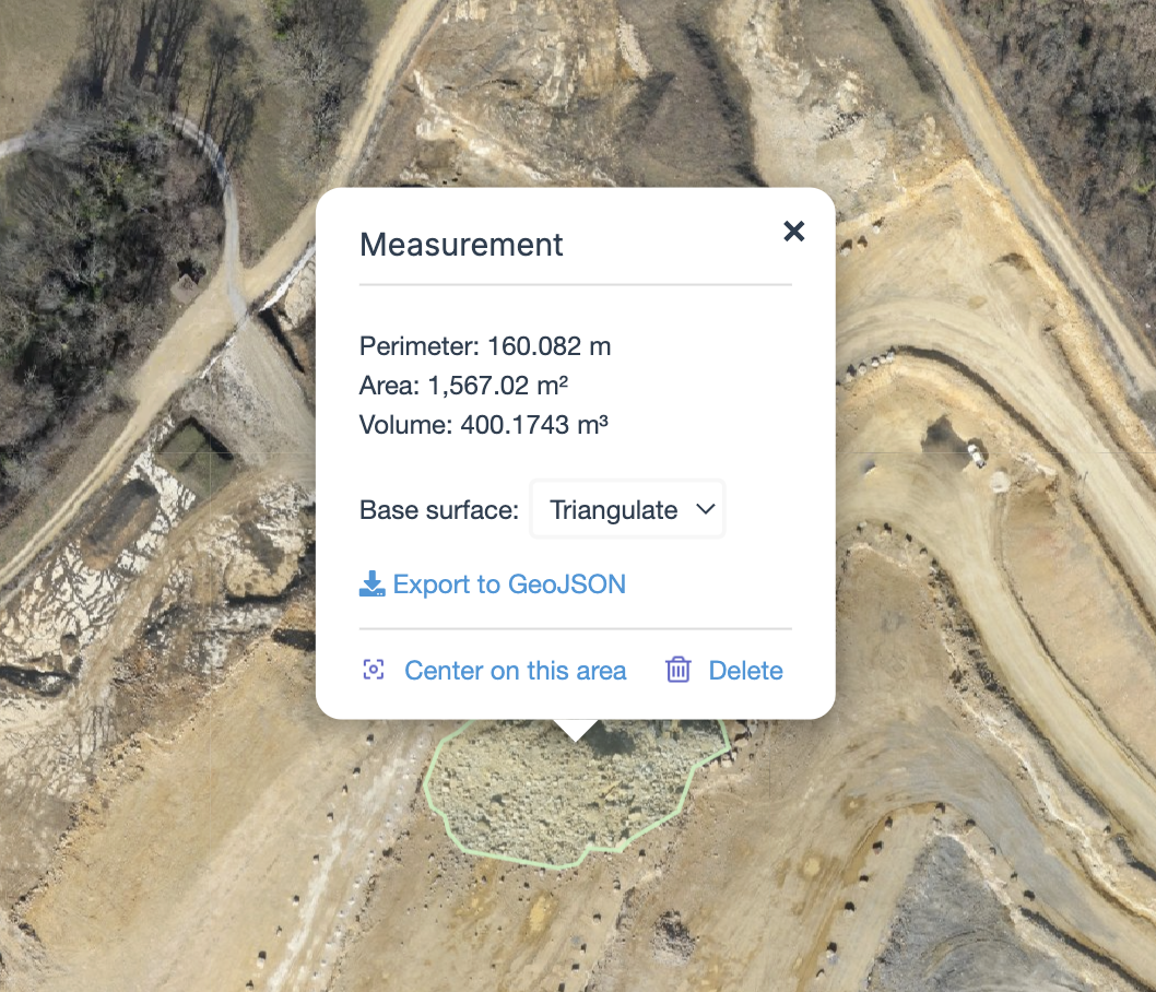
1. Stockpile Volume Analytics
• The Input:
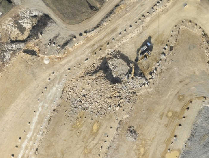
Raw aerial drone images of irregular, unmeasured earth and gravel mounds.
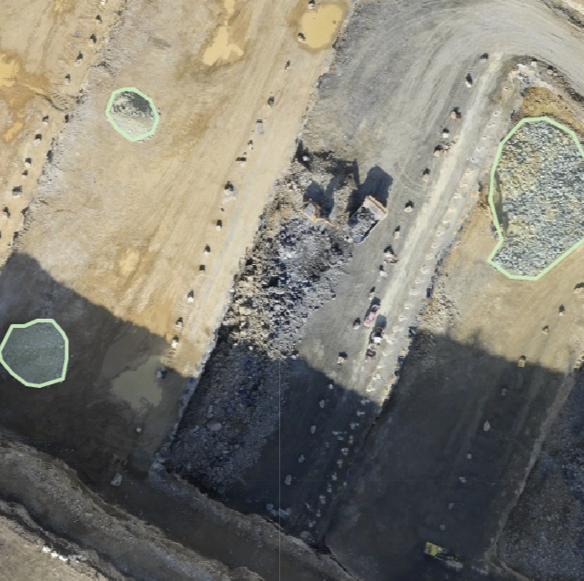
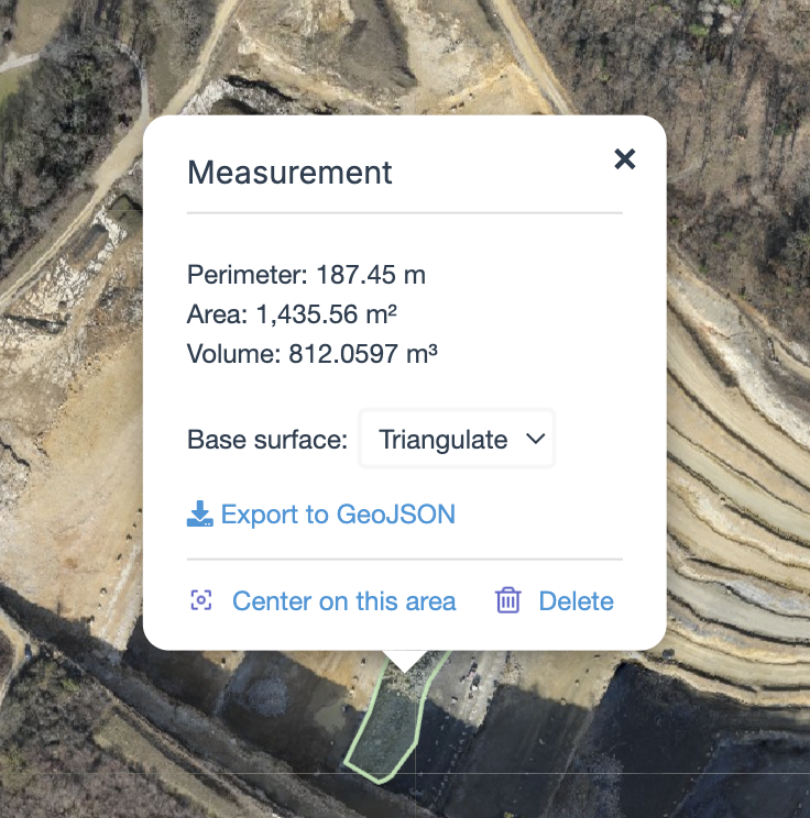
• The Process: Constructed a digital twin model of the terrain, traced the exact bottom base lines of the mounds, and applied localized base-surface triangulation.
•The Output/Value: Extracted precise cubic meter (m³) volume metrics on screen.
This gives site supervisors instant, automated inventory tracking without needing slow and risky physical measurement surveys.
Before
After
2. 2D High-Resolution Orthomosaics
• The Input:
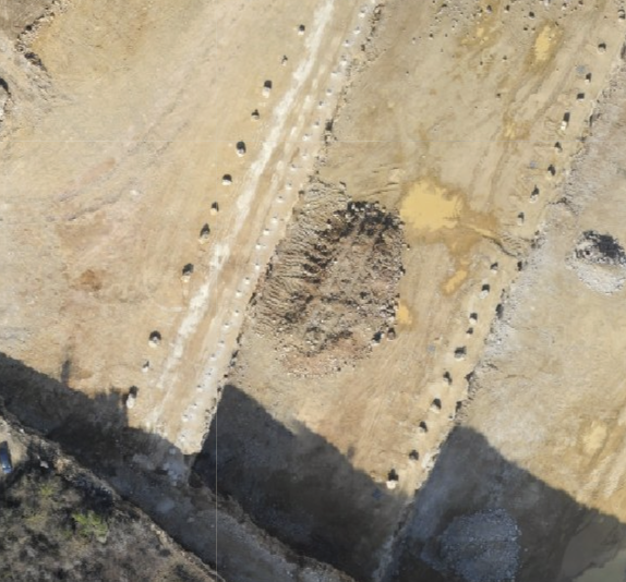
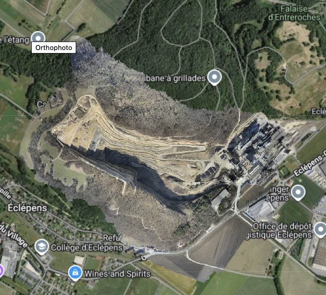
100+ raw, distorted drone photos captured at different angles over a quarry site.
- The Process: Processed the imagery using photogrammetry pipelines to mathematically flatten the lens distortion, creating an orthorectified aerial map.
- The Output/Value:
A hyper-accurate, scale-correct 2D site map. This allows project managers to measure true real-world distances between any two points on-screen, completely eliminating the need for manual, dangerous ground-measuring trips.
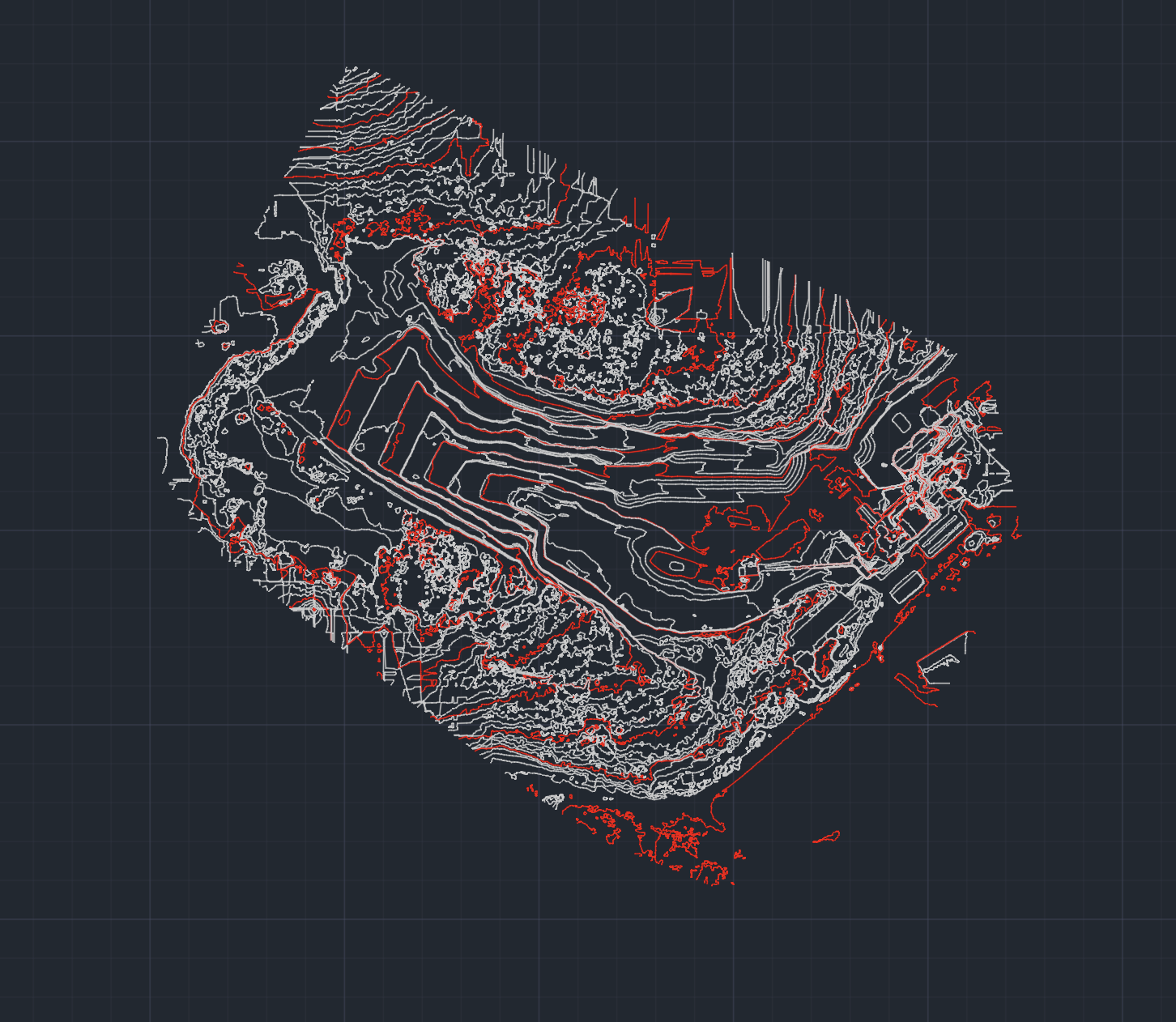
3. AutoCAD Topographic Contour Lines
• The Input:
Dense, messy 3D digital surface terrain data generated from the drone flight.
• The Process:
Isolated the raw earth ground by filtering out machinery noise, generated 5-meter elevation contour intervals (.DXF), and imported them natively into AutoCAD.
• The Output/Value: Organised the topographic lines into professional, colour-coded layers (Major Contours in Red, Minor Contours in White). This provides civil engineers with a clean, production-ready vector blueprint that can be instantly used for foundation planning and grading designs.